
Choosing a Moab hiking day
Moab hiking needs more than a choice of photograph. Delicate Arch and Mesa Arch are different walks in different national parks, while a technical canyon outing adds equipment and route demands. Start by deciding whether you want to walk to a landmark, view it from a separate viewpoint or take part in canyoneering.
Moab lies among the canyons and mesas of southeastern Utah. Roads, parking and seasonal conditions shape the walking day as much as distance. Keep a flexible destination list rather than building the day around a single parking space. The Arches guide explains park access, and the Canyonlands guide helps distinguish the separate districts.
Delicate Arch and its separate viewpoints
The National Park Service route description dated 29 April 2025 gives the walk to Delicate Arch as 4.8 km round trip with 146 m of ascent. Summer heat and winter ice both matter. This is the route for reaching the arch area, rather than simply seeing the arch in the distance.
The Lower Delicate Arch Viewpoint has a separate level approach of 91 m and looks toward the arch from about a mile away. The Upper Viewpoint uses a 0.8 km path with steps. Choose according to the experience you want; a viewpoint stop and the longer arch walk are different plans.
Wolfe Ranch parking can fill, particularly around the popular sunset period. Starting from the viewpoint parking area increases the full walk to about 8 km. Allow room to change plans when parking is unavailable. Keep to established paths, protect biological soil crust and never climb or walk on the arches.
A technical canyon alternative
For a technical alternative to hiking, the canyon outing includes gear and route transport.
Hand-picked tours, booked through GetYourGuide. Prices are indicative starting prices in US dollars (as of October 2026). Tap a tour for live availability and the current price in your currency.
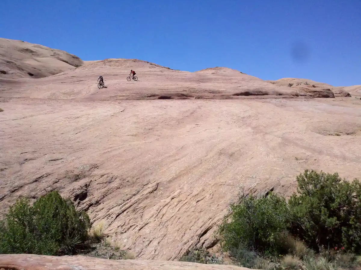
A canyon outing with technical equipment
Bow and Arrow Canyon is a technical alternative to walking, with canyoneering gear, backpacks and route transport included.
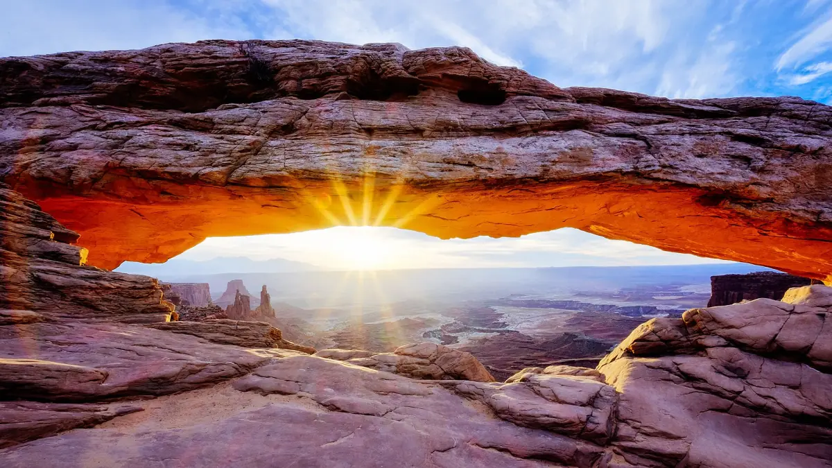
Mesa Arch in Island in the Sky
The Canyonlands hiking table describes Mesa Arch as a 1 km loop taking about 30 minutes. The short route leads to an arch at the canyon edge. Sunrise is a popular visiting time, but that description is not a promise of an empty trail or a particular light effect.
Mesa Arch belongs in an Island in the Sky visit. Needles and Maze have separate approaches, and roads or bridges do not connect the districts within the park. Build your day around the correct district rather than treating Canyonlands as a single connected scenic drive. Never climb, stand on or rappel from the arches.
Water and heat
In its safety advice dated 4 August 2026, NPS recommends at least 2 to 3 litres per person for frontcountry walks and 4 litres or more in the backcountry, with extra water in the vehicle. These are planning guides, not a fixed ration that suits every person, route and temperature.
Put physical activity into the cooler parts of the day. Carry the supply you need for the whole outing, including the return, and reconsider a walk when the heat makes the original plan unreasonable. Spring and autumn are generally more comfortable, but they also bring stronger demand. Read the season guide before choosing dates.
Winter ice and flash floods
Winter can bring snow and ice, affecting both the walk and the drive to its start. Roads may close for snow clearance. Take offline maps and a paper map, tell someone your intended route and check park notices before departure. A short route still deserves a conditions check.
Flash floods can occur even when the sky overhead is blue. Rising water, changing colour, debris or flood sounds are reasons to move to higher ground. Do not cross flooded washes or roads. At thunder, seek shelter in a vehicle or building. For narrow canyon terrain, assess weather before committing rather than waiting until a storm reaches the route.
A technical canyon alternative
The Bow and Arrow Canyon outing is a technical canyoneering alternative, with necessary technical gear, backpacks and transport to and from the route included. It starts at 253 N Main St in Moab and has a listed duration of 5 hours. Choose it for canyon activity, with the associated fitness and weather decisions, rather than as a simple guided park walk.
Commercial guided canyoneering services are prohibited inside Arches National Park. Keep the wider Moab canyon outing separate from self-guided technical routes in the park. The canyoneering guide explains that activity in more detail.
Questions for your trip
Does every Delicate Arch visit reach the arch?
The walk to the arch and the separate viewpoints are different routes. Choose the longer walk if reaching the arch area is your purpose.
How should I prepare water?
Carry enough for the route, weather and return journey, with a vehicle reserve. NPS distinguishes frontcountry and backcountry needs rather than giving one universal daily ration.
Is the canyon outing an ordinary walking tour?
It is a technical canyoneering outing. Consider fitness, weather and comfort with that activity before choosing it.